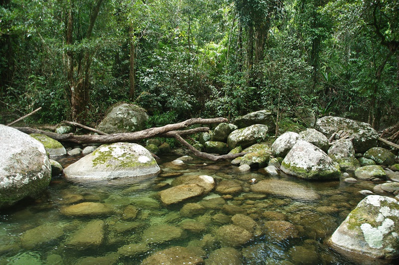
What rainforest plant is that?
Commonwealth Scientific and Industrial Research Organisation (CSIRO) Oceans and Atmosphere
Published: 22 March 2019
CSIRO and partners launched the 7th edition of Australian Tropical Rainforest Plants, an interactive key covering 2753 species with 14,000 images. It helps scientists, land managers, students, and the public easily identify rainforest plants.
Keywords: CSIRO, rainforest plants, biodiversity, taxonomy, Wet Tropics, Mackay, plant identification
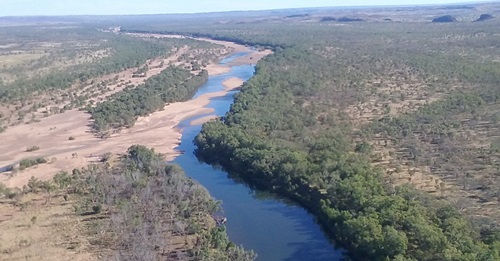
Noble pursuit of ancient water secrets
Commonwealth Scientific and Industrial Research Organisation (CSIRO) Oceans and Atmosphere
Published: 28 March 2019
CSIRO’s new Noble Gas Facility in Adelaide, the first in the Southern Hemisphere, uses helium, neon, argon, krypton and xenon to date groundwater, track aquifer flow and replenishment, and provide insights into Australia’s water resources and climate history.
Keywords: CSIRO, groundwater, noble gases, aquifers, Adelaide, climate history, water resources
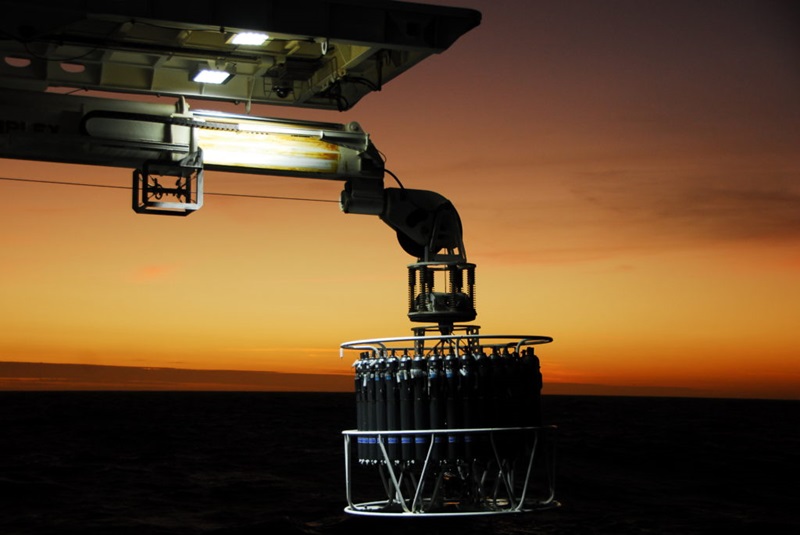
Dropping a line in the Indian Ocean
Commonwealth Scientific and Industrial Research Organisation (CSIRO) Oceans and Atmosphere
Published: 14 May 2019
RV Investigator has set sail for the 2nd International Indian Ocean Expedition, retracing a 1960s voyage to study climate change impacts on ocean physics, chemistry, biology, and food webs across 3000 km of the southeast Indian Ocean.
Keywords: Indian Ocean, RV Investigator, climate change, marine science, IIOE-2, biodiversity, oceanography