10Dec
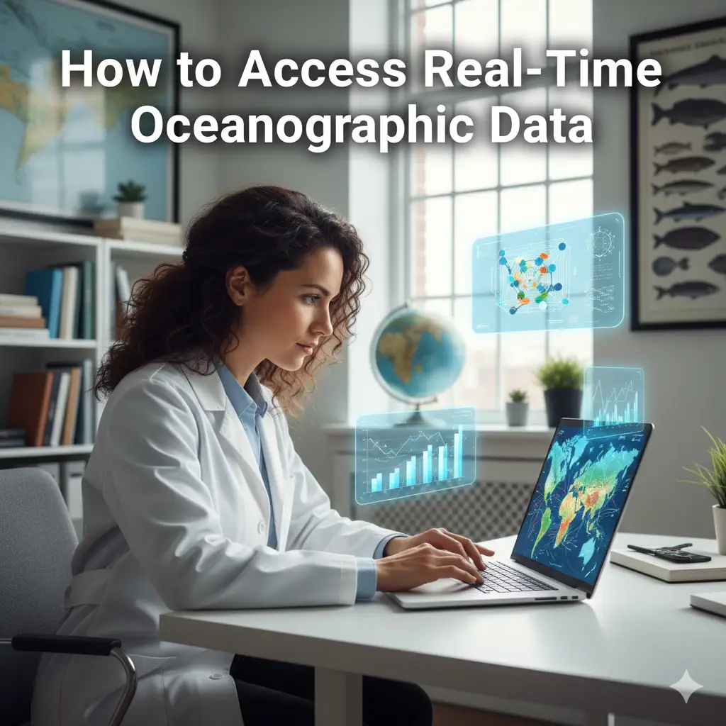
How to Access Real-Time Oceanographic Datasets for Research
Introduction: Why Accessing Ocean Data Matters

Real-time oceanographic data is more important than ever. As climate change accelerates and we face environmental challenges, access to up-to-date ocean information has become crucial for researchers, policymakers, and conservationists. Real-time ocean data helps scientists monitor global conditions, predict weather patterns, and protect fragile ecosystems. Whether you're a marine biologist studying the effects of rising temperatures on ocean life or a climatologist working to model future sea levels, having access to real-time oceanographic datasets is key to making informed decisions and taking effective actions.
Importance of Real-Time Ocean Data in Research
Real-time ocean data serves as the foundation for cutting-edge research. With real-time data, scientists can track changes in the ocean’s physical properties, like temperature and salinity, as well as its biological health. The ocean plays a pivotal role in regulating the Earth’s climate, and by having immediate access to ocean data, researchers can monitor trends, track anomalies, and respond faster to emerging environmental threats.
- Monitoring climate change: Real-time data helps scientists track the ocean’s role in climate change, especially the rising temperatures and shifting currents.
- Ocean health: Immediate data on marine life and ecosystems allows researchers to track changes that could indicate pollution, overfishing, or other threats.
- Disaster prediction: Real-time ocean data is critical for predicting and responding to natural disasters, such as hurricanes and tsunamis, by monitoring sea-level changes, currents, and temperature.
Key Takeaways
- Real-time ocean data is essential for studying the ocean’s role in climate change, marine life, and natural disasters.
- Accessing ocean data platforms and tools allows researchers to make informed decisions quickly.
- The availability of marine research datasets opens doors for new discoveries and conservation efforts.
What Are Real-Time Oceanographic Datasets?
Real-time oceanographic datasets provide live, up-to-date information about various aspects of the ocean. These datasets are collected through a network of sensors, buoys, satellites, and other observation tools deployed across the globe. Researchers use these datasets to monitor ocean conditions and study phenomena like ocean currents, water temperature, salinity, and marine biodiversity.
Definition and Significance of Real-Time Ocean Data
Real-time oceanographic data refers to the continuous, live collection of ocean conditions as they happen. This data is crucial for understanding dynamic processes like the movement of ocean currents, the distribution of marine life, and changes in the environment. The significance of real-time ocean data lies in its ability to provide accurate and timely information that can inform scientific studies and shape global environmental policies.
Types of Oceanographic Data Available

Real-time oceanographic datasets come in many different forms. The most common types include data on ocean temperature, salinity, currents, waves, and marine ecosystems.
Ocean Temperature, Salinity, and Depth Data
These are some of the fundamental aspects of oceanography. Ocean temperature affects climate patterns and marine life, while salinity influences water density and ocean currents. Depth data provides critical information on the shape of the ocean floor and the distribution of life in different ocean layers.
Current and Wave Data
Ocean currents and waves are fundamental to understanding the movement of water across the planet. Real-time data on ocean currents helps predict weather patterns and understand the distribution of nutrients in the ocean, which is essential for marine life.
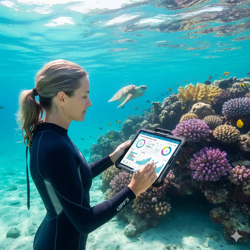
Marine Biodiversity and Ecosystem Data
Tracking marine biodiversity in real-time is essential for understanding the health of ocean ecosystems. This data includes the distribution of species, the health of coral reefs, and the effects of human activities like pollution or overfishing on marine life.
Where to Find Real-Time Oceanographic Datasets
If you’re looking to access real-time oceanographic datasets, there are several platforms and data providers that offer comprehensive data for research. These sources provide a wide range of datasets related to ocean temperature, salinity, ocean currents, and more.
Top Data Providers for Oceanographic Research
Many well-established oceanographic research facilities around the world monitor and collect these data sets and make them available on their websites. A list containing many of these organizations can be found here: https://www.oceanography.com/institutes.
Oceanography.com receives data from many of these institutions and aggregates them together to create an even larger data set which can be accessed on their website. You must create a free account to access this information, though.
NOAA Ocean Data Portal
The NOAA Ocean Data Portal is one of the most trusted sources for oceanographic data. The portal provides access to a variety of datasets, including ocean temperature, salinity, and current data, from different locations around the globe. It's a great starting point for anyone looking to explore ocean data visualization and start their research.
The Global Ocean Observing System (GOOS)
GOOS is a global network that collects and shares real-time data about ocean conditions. It provides data that covers ocean currents, water temperature, salinity, and much more. GOOS is managed by a network of international oceanographic institutions and plays a key role in monitoring the health of the ocean.
Oceanography.com and Other Global Databases
Oceanography.com is another excellent resource for real-time ocean data. This platform compiles data from various research institutions around the world, making it easier for researchers to access the information they need. It’s an ideal tool for anyone conducting marine environmental research.
Other Specialized Data Portals and Repositories

Beyond the top-tier platforms, there are several specialized data portals that offer real-time ocean data for more specific research needs.
Copernicus Marine Environment Monitoring Service
The Copernicus Marine Environment Monitoring Service (CMEMS) offers a vast array of oceanographic data, particularly for researchers focusing on ocean circulation, sea-level rise, and climate change. CMEMS provides high-resolution data on sea surface temperature, currents, and salinity.
NASA’s Ocean Biology DAAC
For researchers interested in the biological aspect of oceanography, NASA’s Ocean Biology Distributed Active Archive Center (DAAC) provides access to datasets related to ocean biology, including chlorophyll levels, sea surface temperatures, and the health of marine ecosystems.
Marine Traffic Data and Ship Movement Tracking
In addition to environmental data, real-time ship movement data can also be critical for marine research. MarineTraffic is one such platform that provides real-time tracking of ships and marine vessels worldwide, offering insights into marine traffic and ocean shipping patterns.
How to Access Ocean Data Easily
Accessing real-time oceanographic datasets doesn’t have to be complicated. Here’s a simple guide to help you get started.
Step-by-Step Guide to Accessing Real-Time Data
Registering for Access to Databases
Most major ocean data platforms require you to create an account for access. This is often free for educational and research purposes. After registering, you’ll be able to search through the available datasets and download the data you need.
Searching for Relevant Datasets
Once registered, it’s important to know how to search for the data you need. Most platforms have search functions that allow you to filter datasets based on location, date range, and data type (e.g., ocean temperature, salinity, or currents).
Downloading and Visualizing Data
Once you’ve found the right datasets, you can usually download them in formats like CSV, NetCDF, or GRIB files. These formats are compatible with most data analysis tools. Some platforms also offer built-in data visualization tools to help you explore the data directly on the website.
Tools for Analyzing Oceanographic Datasets
Using GIS Tools for Mapping Ocean Data
Geographic Information Systems (GIS) are essential for visualizing and analyzing ocean data. Software like ArcGIS or QGIS allows you to map oceanographic data and overlay it on world maps to better understand patterns in ocean currents, temperature, and marine life.
Data Visualization Platforms for Oceanographic Research
If you prefer more specialized visualization tools, platforms like Tableau and RStudio can help you create interactive graphs and dashboards to display your ocean data in a more intuitive way. These platforms allow for complex analysis and help uncover trends that might not be immediately obvious.
Practical Applications of Real-Time Ocean Data in Research
Real-time ocean data is used in various research fields, from climate science to marine biology.
Climate Change Research and Predicting Weather Patterns
Ocean data is crucial for studying climate change, as the ocean is a significant heat sink that affects global temperature patterns. Real-time data on sea surface temperature and ocean currents helps researchers predict climate patterns and weather phenomena like hurricanes and El Niño.
Marine Biology and Biodiversity Studies
For marine biologists, real-time data helps track the health of marine ecosystems and the migration patterns of marine species. It is particularly useful in studying coral reef health, fish populations, and the impact of environmental changes on marine life.
Oceanography and Environmental Conservation Efforts
Conservationists use real-time ocean data to monitor pollution levels, track endangered species, and manage marine protected areas. Data on water quality, salinity, and marine ecosystems helps guide conservation efforts.
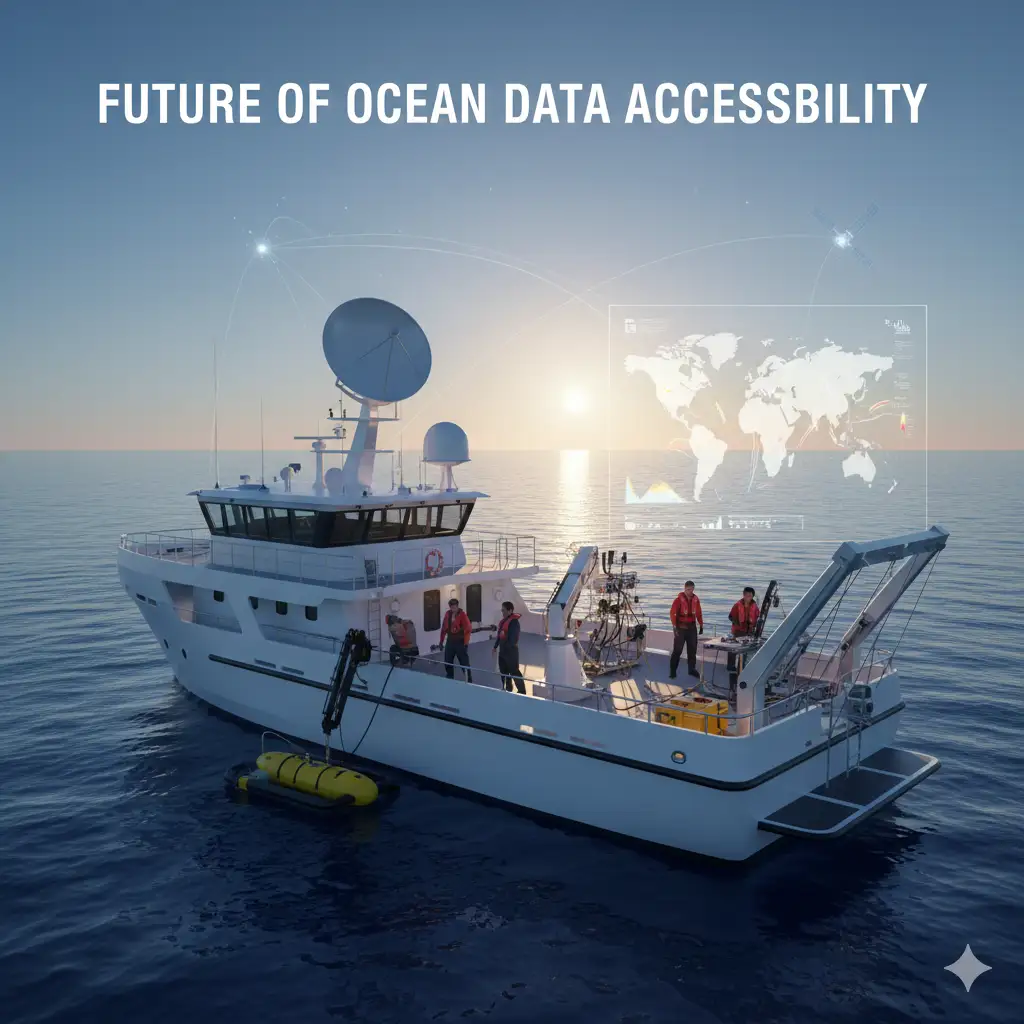
Future of Real-Time Ocean Data Access
The future of oceanographic research is closely tied to advancements in technology and data accessibility. The role of artificial intelligence (AI) and machine learning in analyzing ocean data will continue to grow, enabling faster and more accurate predictions and assessments.
Advancements in Data Collection and Accessibility
The continued deployment of sensors, satellites, and autonomous underwater vehicles will allow for more detailed and widespread collection of ocean data. These advancements will make real-time ocean data even more accessible to researchers worldwide.
The Role of Artificial Intelligence and Machine Learning
AI and machine learning algorithms are already being used to process vast amounts of oceanographic data and extract meaningful insights. These technologies will continue to enhance the accuracy and efficiency of ocean data analysis, providing more reliable results for research.
Conclusion: Leveraging Oceanographic Datasets for Effective Research
Accessing real-time oceanographic datasets is crucial for researchers who want to stay on top of the ever-changing conditions of the ocean. Whether you're studying climate change, marine biology, or environmental conservation, real-time ocean data provides the necessary insights to inform your research and make data-driven decisions.
Key Takeaways for Researchers
- Real-time ocean data is essential for climate studies, marine biology, and ocean conservation.
- Major platforms like NOAA, GOOS, and Oceanography.com provide easy access to valuable datasets.
- Tools like GIS and data visualization software are key for analyzing and interpreting ocean data.
Explore Real-Time Ocean Data Now! Access Oceanography.com and Dive Deeper Into Ocean Research
Frequently Asked Questions (FAQs)
1. How can I access real-time oceanographic datasets?
You can access real-time ocean data through platforms like NOAA and Oceanography.com by registering for an account and searching for the datasets you need.
2. What types of oceanographic data are available?
You can find data on temperature, salinity, currents, waves, and marine biodiversity.
3. How do I visualize ocean data?
You can use GIS tools like ArcGIS or platforms like Tableau to visualize oceanographic data on maps or create interactive graphs.
4. What is the role of ocean data in climate change research?
Ocean data helps monitor the ocean’s role in heat absorption and climate regulation, which is essential for understanding climate change patterns.
5. How accurate is real-time ocean data?
The accuracy of real-time ocean data depends on the data source and the sensors used. Trusted platforms like NOAA and GOOS provide high-quality, verified data.
6. What tools can I use to analyze oceanographic datasets?
Tools like RStudio, QGIS, and MATLAB are popular for analyzing ocean data and creating models.
7. Are real-time ocean data platforms free?
Many platforms offer free access to ocean data for educational and research purposes, including NOAA and GOOS.
8. Can AI improve ocean data analysis?
Yes, artificial intelligence and machine learning can enhance the analysis of ocean data by automating tasks and improving prediction accuracy.
9. How can real-time data help marine conservation?
Real-time data helps track changes in marine ecosystems, monitor pollution levels, and guide conservation efforts.
10. What is the future of real-time ocean data?
The future of real-time ocean data will involve advanced sensors, AI-driven analysis, and increased global collaboration for more comprehensive monitoring.